Leica Geosystems, best known for its array of products that capture, analyze, and present spatial information has been working with surveyors to get real time market feedback on its Viva GNSS system.
Viva integrates GNSS receivers, total stations, laser scanners, data collectors, and other essential measurement technology by providing common system interfaces, interchangeable batteries, and consistent point management across all types of work and equipment.
Leica Geosystems, in cooperation with Geomatic Resources LLC, recently worked with Frontier Surveying Company, a firm specializing in gas field support, supporting it with Viva ISS in the Barnett Shale region.
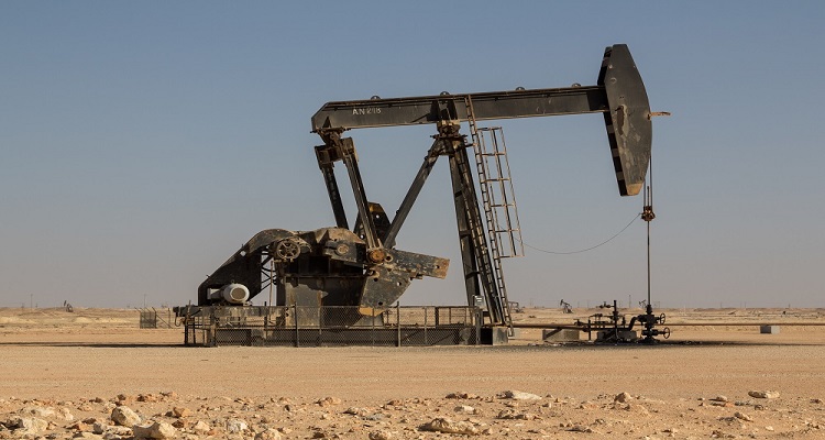
The Barnett Shale is a geological formation that may contain gas up to 30 trillion cubic feet. The two biggest sources of work are the boundary work associated with gas extraction pads, and survey support for pipeline construction.
But the gas is difficult to extract and much of the Barnett Shale lies beneath Fort Worth, Texas. According to company sources, Viva has helped Frontier gain market share in the extraction industry.
Senior Project Manager of Frontier Surveying Company, Allen Peloquin comments, "Viva's GNSS receivers, which are optimized for network RTK, have been especially reliable. They come equipped with modems and radio systems to take advantage of SmartNet, a subscription based service offering GNSS Network RTK corrections throughout Texas, operated by Leica Geosystems."
"The network coordinates feeds from more than 90 Leica Geosystems receivers in Texas - there are more than 30 stations just in the North Texas area, providing continuous network RTK corrections to all GPS brands on the market."


